Geotagging Surveys in the Case of a Natural Disaster
It's not always clear what the next move is in the case of a natural disaster.
Ella augments the ability to assess what is happening at ground level and maintain open lines of communication with communities.
1 response or 1 million responses..
Ella scales and adapts in real-time

Pioneered alongside experts


How Ella works
A continuously adapting system for disaster management
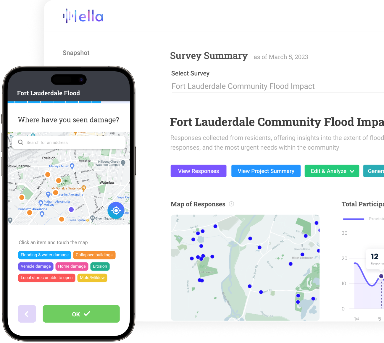
In the case of a disaster, information symmetry between the team behind the screen and the team out in the field is critical. Ella is specifically built to maximize the information inflow from disaster victims and responders to survey administrators. Once surveys are responded to, Ella's real-time topic classification means incoming open responses are grouped and mapped instantly.
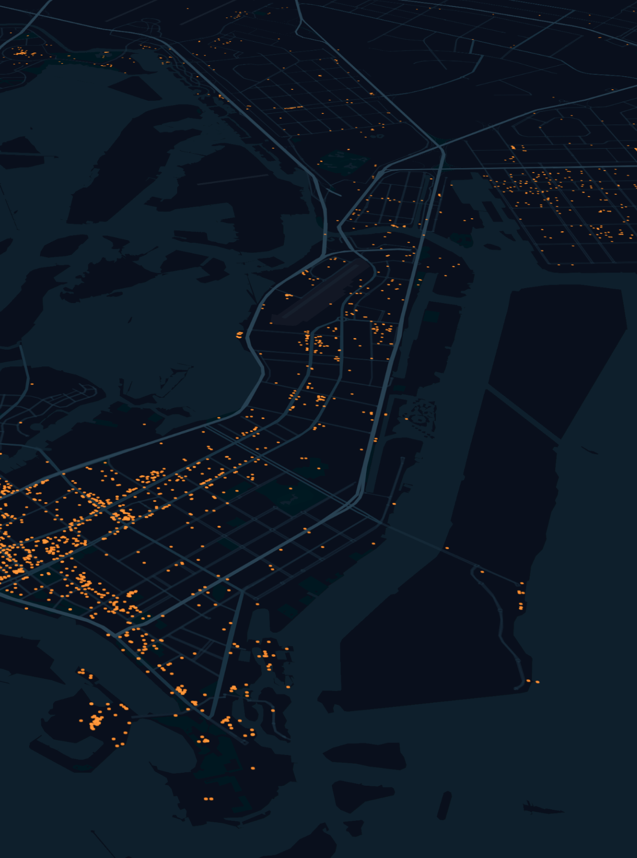
When responding to surveys, users can be prompted to select "allow this survey to access your location," meaning the information pipeline does not end in a spreadsheet. REST API and GeoRSS integration means that survey administrators and analysts can populate ArcGIS, QGIS, Tableau, PowerBI, Carto and other mapping software using a real-time data connection.

Geolocated responses
Survey admin have the option to ask respondents for the location. Ella uses the respondent's phone location, meaning responses are tagged with latitude, longitude coordinates with an accuracy of around 5 meters.

REST API & GeoRSS integration
While analysts are able to download survey responses using CSV formats, responses can be hooked into mapping and visualization software using REST API and GeoRSS integrations to monitor evolving situations in real-time.

Flexible survey question updates
As a situation evolves, the most important questions to ask change. Ella allows for survey administrators, while maintaining their original URLs and QR codes, to remove and add new questions, as well as create new topics for responses to be classified within.

Let's get started with Ella
Our team is always innovating through the conversations we have with our community. Whether you're surveying for the first time or already have subscriptions to six different platforms, send us a message and let's chat about where Ella fits in your process.
